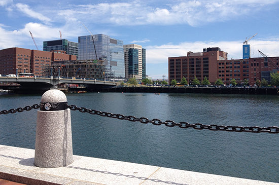
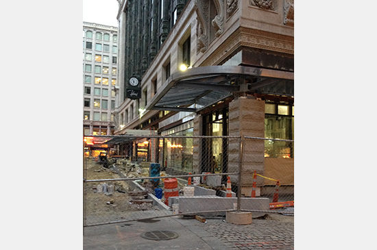
PAYETTE’s office, (290 Congress Street, Boston) has a Walk Score of 92 out of 100. With the proximity of South Station, car sharing and bike sharing options, it is also considered a “rider’s paradise.” Walk Score bases scores on whether or not “most errands” can be accomplished on foot in a given neighborhood. Based on how well you know a neighborhood and what you consider convenient, you may or may not agree with Walk Score’s assessments.
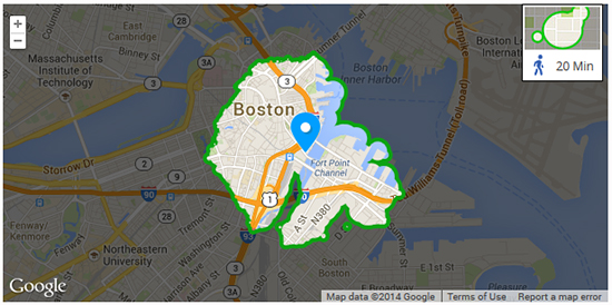
Travel Time Map (walkscore.com) for 290 Congress Street. Highlighted area indicates how far one can travel on foot in 20 minutes.
After writing about and discussing my car-free lifestyle with a few colleagues earlier this year, I thought more about the benefits of walking. Inspired by Matt’s commitment to walking to work when he lived in Cambridge, I tried walking to work a few times. I haven’t made a habit of it, yet – I’m more deterred by inclement weather than Matt ever was. But I have made more of an effort to walk to meet up with friends on the weekend. As I’ve walked to JP, Cambridge, the South End and downtown over the past few months, I’ve come to appreciate how well I learn neighborhood through walking. When I first worked in Boston, I could get myself to work and home. I couldn’t quite navigate a detour without some serious planning. As the years have passed and I’ve made it a priority to learn more neighborhoods around Boston, I think walking is the best way to do that. When I’ve walked somewhere, I can visualize the route, estimate how long it will take to get there (and whether walking is actually faster than public transportation).
Walking also opens up new destinations – that small park tucked away or coffee shop I’ve never encountered before. It also gives me an appreciation for the scale of neighborhoods. It feels very different to walk around the South End than it does to traverse downtown Boston. Some neighborhoods are certainly more walkable than others and route matters. I prefer a scenic route to an overpass (even if it is more direct). When I consider whether or not to walk somewhere, the route plays a role. Sometimes the first suggestion Google Maps provides is not the most ideal from a pedestrian’s perspective, but trying multiple routes is how I’ve discovered some of my favorite ways to see the city — from it’s snow covered days to watching new construction progress.
Let’s take a look at the Walk Score of a few popular Boston area neighborhoods.
Davis Square: 97
West End: 95
Brookline Village: 95
South End: 95
Kendall Square: 95
Coolidge Corner: 92
Fenway: 86
Fort Point Channel: 82
Jamaica Plain: 76
Central Square: 75
What’s the Walk Score of your neighborhood (at home or at work)? How do you get to know your town and the surrounding areas?

